
Geographic Information Systems (GIS) are systems that represent data based on location. It is sort of a map, a visual representation of that data.
In this article, we’ll try to answer all of your doubts surrounding the information you will need while choosing the perfect GIS Satellite Imagery for your fit.
Compared to the traditional table maps, a GIS map is dynamic and interactive. It is based on the given attributes that reveal previously unseen features.
These maps even highlight the features and show changes over time for you to understand.
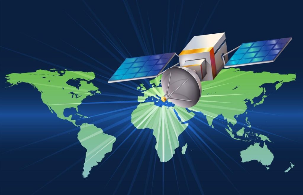
What is Geographic Information Systems (GIS) Satellite Imagery?
Geographic Information Systems (GIS) is a set of computer applications that are used to store, manage, analyze, and present earth-related data.
It is a subset of GIS that deals with the use of satellite imagery. The satellites in space provide an aerial view of the earth and are able to spot changes in vegetation or water levels.
Let us see the uses and benefits of GIS Satellite Imagery as well as what it can be used for in different industries like agriculture, forestry, and disaster management.
How do GIS Satellite Imagery Resources Work?
GIS Satellite Imagery Resources are a type of geospatial data that uses satellite imagery to analyze and map the earth. Let’s discuss two key terms that are important in GIS.
The first one is Geospatial data. It is the data that is related to a specific geographic location.
The second one is the GIS mapping software. It is a computer program or application used for creating maps from geospatial information systems (GIS) data.
The Map App lets you create maps, edit them, and share them with friends. GIS mapping software is free for you to download for commercial use and does not require any license.

Why is Imagery Important in the Geospatial Industry?
Let’s see why Imagery is an important aspect of geospatial technology.
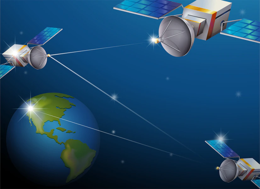
Remote sensing and aerial photography make extensive use of imagery.
Remote sensing is a technology used to collect data from space in order to investigate the Earth’s surface.
Aerial photography is a method that uses images taken from an airplane to explore the Earth’s surface.
In geospatial technology, imagery can be either aerial photography or satellite imagery. Both strategies have different objectives, but they are both important for understanding our planet and how it changes through time.
GIS satellite imagery is a great way to analyze geospatial data. It can save a lot of time and also provide high-quality visuals for decision-makers.
There are several benefits of using GIS-satellite images for geographic data analysis. The most obvious feature is the detail shown on maps, which may be used in a variety of interesting ways.
In this article, we will explore the top 5 advantages of using GIS satellite imagery for geospatial data analysis.
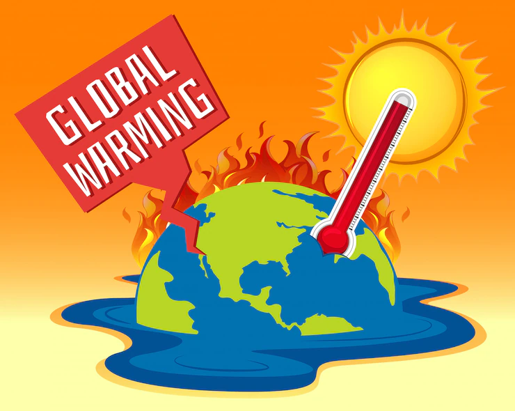
1. Environmental Changes:
You can use satellites to analyze environmental changes on a large scale. They can detect changes in the environment such as the melting of ice sheets, deforestation, or the spread of deserts.
Satellites have been used to monitor environmental change for decades. These satellites can detect changes in the environment such as the melting of ice sheets, deforestation, or the spread of deserts.
The environment is changing and so are the needs of the people. The need for clean air and water has never been more important.
There are many environmental changes that have happened over the past few decades, some of which have had a negative effect on our environment.
These changes include pollution, climate change, deforestation and toxic waste. These changes have led to an increase in health problems such as asthma, lung cancer, heart disease, and birth defects.
Some of the major environmental changes that have occurred include:
– Climate change
– Pollution
– Deforestation
– Toxic waste
2. Be Updated with changing landscape:
The images are updated frequently, which provides up-to-date information on changing landscapes.
Images are a powerful way to communicate ideas, and they can be made even more powerful when they are updated with the latest information.
As the world of marketing is changing and evolving, it is important to keep up with the latest trends and technologies.
In this section, we will be discussing some of the most recent changes in marketing.
– The rise of influencer marketing
– The shift from digital to social media
– The growing importance of storytelling
3. Highly Related Image:
Satellite images often provide a high level of detail, which is not possible with aerial imagery. photographs and even with remote sensing data from other sources like LIDAR and radar sensors.
The image should be of a person or thing that is highly related to the topic of this section.
4. Tracking growths:
Satellite images are a non-invasive way to track the growth of trees and vegetation over time and changes in water levels in lakes and rivers.
Various indicators can be used to monitor a company’s growth. One of the most popular metrics is the Total Revenue. Total revenue is computed by multiplying a product’s price by the number of units sold.
Another measure that may be used to track development is profit margin, which shows how much profit a company generates from each sale. Total sales are divided by profit from sales to calculate the profit margin.
Why should you use GIS Satellite Imagery to Analyze your Geospatial Data?
GIS satellite imagery is a powerful tool that helps you analyze your geospatial data in a way that is not possible with any other type of map.
This type of map provides you with an accurate and detailed overview of the surface of the earth, which includes terrain, vegetation, water bodies, urban areas, and so on.
Satellite imagery is a powerful tool because it provides you with an accurate and detailed overview of the surface of the earth. It includes terrain, vegetation, water bodies, urban areas, and so on.
GIS satellite imagery has a wide range of applications, including farm management, environmental monitoring, and disaster management.

Conclusion:
GIS satellite imagery has many benefits, including the capacity to identify changes in vegetation and land use that are not observable on a map.
It also allows for more accurate estimates of population size and economic activity than traditional maps.
If you want to learn more about GIS Satellite Imagery and want to get one then visit our website link to order now.