FSQATAR

Geographic Information Systems (GIS)

why coose fis software in qatar

Why choose GIS Software in Qatar by FSQATAR

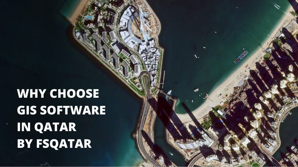
GIS is a recent trend in Qatar. It is a system that combines information about a location’s geographical characteristics with computer-based tools for evaluating and displaying them. It has been used in Qatar to help with natural disasters, urban planning, and even monitoring it has been applied to disaster preparation, city planning, and even the …

Why choose GIS Software in Qatar by FSQATAR Read More »

GIS Satellite Imagery FSQatar

What are GIS Satellite Imagery and its use in 2022?

Geographic Information Systems (GIS) are systems that represent data based on location. It is sort of a map, a visual representation of that data. In this article, we’ll try to answer all of your doubts surrounding the information you will need while choosing the perfect GIS Satellite Imagery for your fit. Compared to the traditional …

What are GIS Satellite Imagery and its use in 2022? Read More »